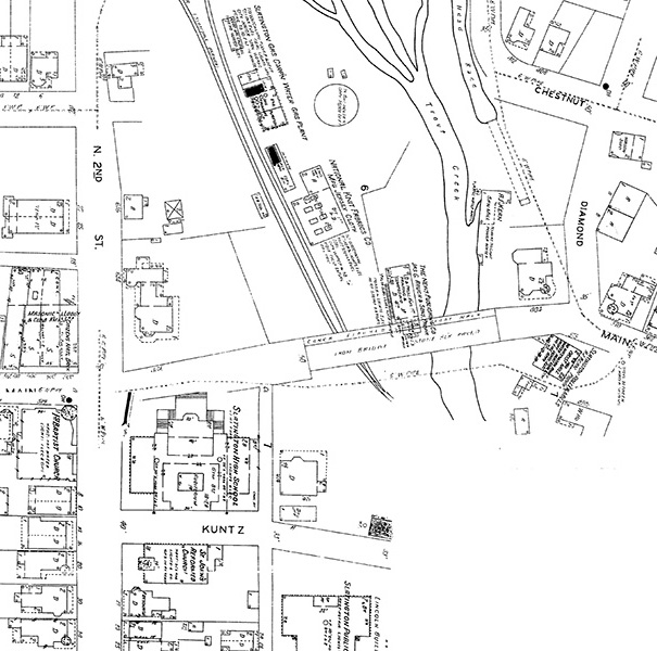
Below is an excerpt from the 1927 Sanborn Fire Insurance map showing all of the buildings in Slatington's Main Street Bridge area.
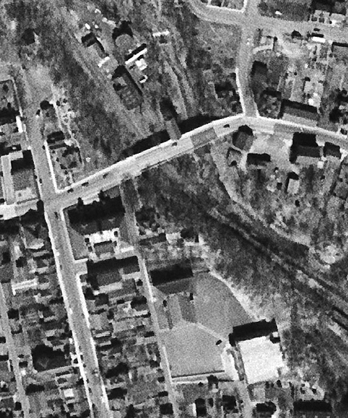
Here is an aerial photograph from 1951, and if you compare this photograph to the 1927 insurance map, you will notice that there were no real changes to the bridge area over the course of about fifty years.
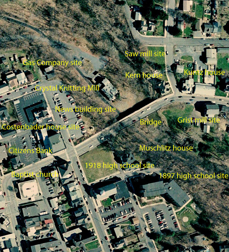
This aerial photograph from about 2005 shows just how much had disappeared from the Main Street Bridge area.
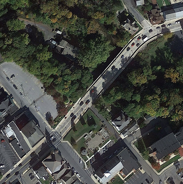
And here is an even more recent aerial view of the area.